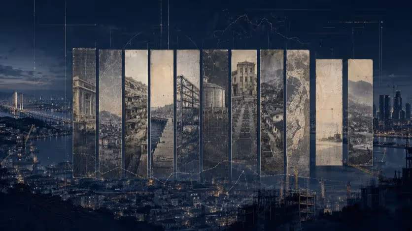
Busan’s New Subway Mirrors a Troubled Past Project
Despite technical and financial setbacks in a previous underground line, Busan’s Hadan–Noksan subway repeats the same design assumptions.


Busan, South Korea — The Hadan–Noksan Line was introduced as a key part of Busan’s western expansion. Connecting the older neighborhoods of Hadan to the developing zones of Gangseo District, including Eco Delta City, the line was intended to fill a longstanding transit gap.
Plans for the project were formalized years ago, but construction has not moved forward. After repeated delays and a recently failed bidding process, the city now faces a basic question: is the current underground subway design still appropriate for this route?
Some argue it is not. The project closely resembles the troubled Hadan–Sasang Line, which experienced multiple construction issues, including sinkholes and water leaks. More broadly, critics say the city is repeating a formula that no longer reflects present-day needs: applying dense-core infrastructure to low-density areas, and prioritizing engineering precedent over user accessibility, terrain conditions, and environmental limits.
As Busan reconsiders its next steps, the debate over the Hadan–Noksan Line has become a test case for how cities respond to change—not just in policy, but in mindset.
What Hadan–Sasang Taught Us
The Hadan–Sasang Line was initially planned for completion in 2016. Construction did not begin until that year, and since then, the schedule has been pushed back several times. As of now, the projected opening date stands at December 2027—more than a decade later than first announced.
Technical issues have been frequent. At various points during construction, ground subsidence and water leaks have disrupted progress. A number of sinkholes have appeared in surrounding areas, raising concerns about the long-term impact of underground excavation. Officials have denied any direct connection between the incidents and the subway work, but public confidence has eroded.
Investigations have pointed to broader problems. Internal audits cited inadequate oversight, insufficient site evaluation, and a lack of responsiveness to early warnings. The project became a symbol of how delays and mismanagement can shift a public utility from a solution into a burden.
Despite these lessons, the Hadan–Noksan Line is proceeding with a similar model: deep tunneling, high construction costs, and limited accessibility for older or mobility-limited residents. The assumption that this approach remains appropriate—regardless of setting—has drawn renewed scrutiny.
Why the West Busan Corridor Is Different
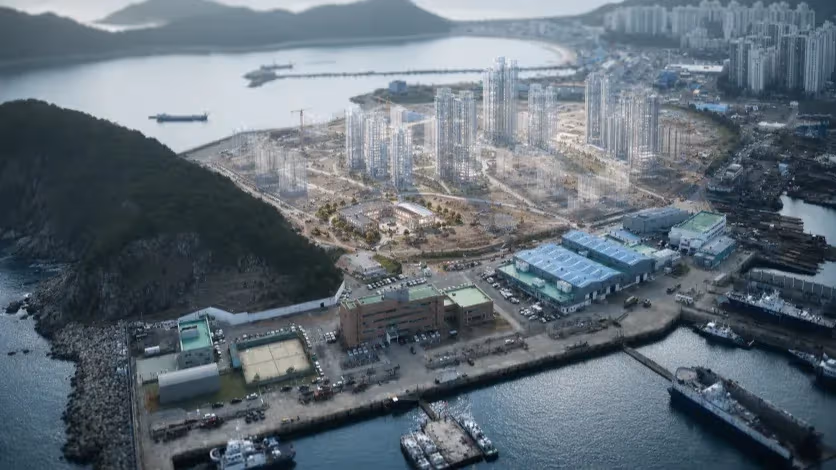
The corridor between Hadan and Noksan is not a traditional urban axis. It includes industrial zones, marshland, protected bird habitats, and wide tracts of reclaimed land under ongoing development. The area remains in transition, shaped by long-term projects like Eco Delta City and by natural limitations such as flood-prone soil and uneven terrain.
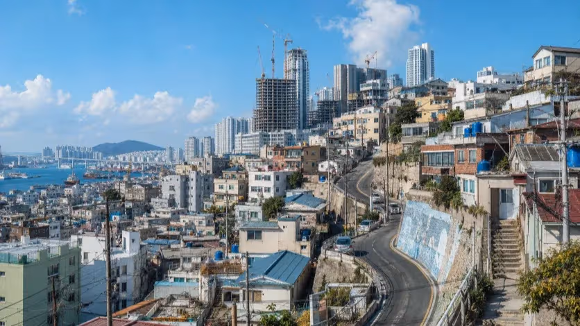
Unlike central Busan, this part of the city is less dense, less vertically built, and more dependent on surface-level mobility. Public amenities are often spread apart, and pedestrian connectivity remains limited. In many areas, residents rely on buses that travel along major roads and stop at frequent intervals.
Transit infrastructure that works well in compact downtown environments does not always translate to such settings. Deep-level subway stations may require long access routes, vertical circulation systems, and additional investment in surrounding development. In low-density districts, these features can feel disconnected from daily life and difficult to justify economically.
The environmental context adds further complexity. Sections of the proposed route pass near wetlands and tidal zones that serve as seasonal stopovers for migratory birds. Tunneling in these areas introduces ecological risks that surface systems might avoid. Some urban planners argue that lighter, more adaptable transit solutions—such as trams—may be better suited to these conditions.
What People Actually Prefer
Public transport is often judged by capacity and speed. But for daily users, other factors carry equal or greater weight: ease of access, clarity of navigation, and the physical and psychological comfort of the journey.
In low-rise, spread-out districts like West Busan, residents tend to favor transport that connects directly to the street. Surface modes such as buses and trams allow for shorter walking distances, level boarding, and more frequent stops. For older passengers or those with mobility challenges, these features can determine whether a system is usable at all.
There are also spatial and cognitive elements at play. When traveling above ground, passengers can observe landmarks, trace their movement, and anticipate their stop. This continuity offers a sense of orientation and control. In contrast, deep subways often remove visual cues. Once underground, passengers rely on signage or auditory announcements. For some, this can create a feeling of disconnection or disorientation.
Surveys in comparable cities have found that even when underground systems are faster, users often choose surface routes for their predictability and visibility. The journey feels less abstract and more grounded. In this way, transport becomes not just a way to reach a place, but part of how people relate to their city.
Cost, Context, and Connectivity
Tram systems are not new, nor are they inherently modern. But in recent years, many cities have returned to them as a practical alternative to large-scale underground rail. Their appeal lies less in innovation than in suitability.
From a cost perspective, trams require less excavation, simpler station infrastructure, and reduced long-term maintenance. In areas where the ground is unstable or the population is dispersed, this lighter footprint can prevent unnecessary technical and financial complications.
Trams also offer greater spatial flexibility. Because they run at surface level, they can be more easily integrated into existing streetscapes and adjusted over time. In developing areas such as Eco Delta City, where long-term land use is still evolving, this flexibility may be especially valuable.
In terms of accessibility, trams typically allow level boarding and require no stairs or elevators. This supports inclusive mobility for older adults, people with disabilities, and those carrying children or goods. When stops are placed every few hundred meters, the system functions more like an extension of the pedestrian environment than a separate transport layer.
In ecological terms, surface rail also reduces risks associated with underground construction, particularly in zones near wetlands or floodplains. With proper design, tram lines can be built in a way that minimally disrupts natural drainage or animal habitats.
In this corridor—where population density is low, terrain is fragile, and future development remains open-ended—trams may not be a substitute for subways, but a more appropriate starting point.
Bureaucratic Inertia
Once a public transit project receives national approval in South Korea, the core design becomes difficult to alter. Funding commitments are tied to initial blueprints, environmental impact studies are tailored to a specific model, and inter-agency coordination is structured around fixed technical parameters. Deviating from this path often means restarting entire approval processes—something few agencies are willing to risk.
In the case of the Hadan–Noksan Line, the underground subway model was established early, modeled closely on previous projects. Changing the design now, even in response to legitimate concerns, would require renegotiation with central authorities, redoing environmental assessments, and potentially sacrificing already secured budgets. For many local officials, the political risk of delay may outweigh the potential benefits of a more suitable system.
There is also a cultural dimension. Infrastructure projects are often seen as a measure of progress, and subways—especially underground ones—retain symbolic weight. Switching to a surface mode may be interpreted not as pragmatism, but as retreat or downgrade. This perception can discourage policy flexibility, even when on-the-ground conditions justify it.
Ultimately, the difficulty is not just technical or financial. It lies in how infrastructure decisions are framed: as long-term investments bound by institutional logic, rather than as services meant to evolve with their users and settings.
Cities are shaped not only by what is built, but by how people move through them. Transit systems, at their best, reflect the rhythms of everyday life—connecting not just points on a map, but communities, habits, and shared spaces.
The Hadan–Noksan corridor is not central Seoul, and it is not even central Busan. Its landscape, population, and development stage call for a different approach—one that prioritizes access, adaptability, and environmental care over uniformity or precedent.
The subway model has served many dense urban cores well. But in this case, repeating that model without regard for context may deliver a costly, underused system out of sync with its surroundings. A surface solution like a tram, better integrated with the street and scaled to the area’s needs, may offer a more human—and more sustainable—fit.
The decision ahead is not only technical. It is civic. To ask whether the current plan is right is to ask whether it listens to the place it’s meant to serve.
Editorial Context
"Independent journalism relies on radical transparency. View our full log of editorial notes, corrections, and project dispatches in the Newsroom Transparency Log."
Reader Pulse
The report's impact signal
Be the first to provide a reading pulse. These collective signals help our newsroom understand the impact of our reporting.
Join the discussion
A more thoughtful conversation, anchored to the story
Atlantic-style discussion for this article. One-level replies, editor prompts, and moderation-first participation are now powered directly by Prisma.
Discussion Status
Open
Please sign in to join the discussion.
The Weekly Breeze
Independent reporting and analysis on Busan,
Korea, and the broader regional economy.